Information for urban planning

HSY supports the sustainable growth of the cities in the Helsinki metropolitan area, for example, by producing information to support the planning of carbon neutral areas. More information on climate-friendly housing, land use and traffic planning solutions is available below on this page. Clean breathing air is a basic prerequisite for city residents, which is why we also offer tools for sustainable urban planning in terms of air quality on this page.
At HSY, we produce regional statistical and analytical data on housing, land use and commuting, among other things. Information is also available on residential zoning and housing production in the 14 municipalities of the Helsinki region (MAL follow-up data), existing city plans in the Helsinki metropolitan area (SeutuRAMAVA), the job structure of the Helsinki region and its development. Links to this information can be found at the bottom of the page.
The cities in the Helsinki metropolitan area have committed to significantly reducing greenhouse gas emissions by setting a city-specific carbon neutrality target. A low-carbon district is built by implementing actions in the planning practices for land use, housing, mobility, and services and livelihoods. In addition to mitigating global warming, the actions introduce concrete measures for promoting new circular economy solutions and for the efforts that should be made to adapt to climate change.
Explore more than 70 actions to develop a low-carbon approach in urban planning on the Low Carbon District page.
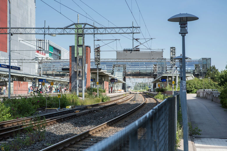
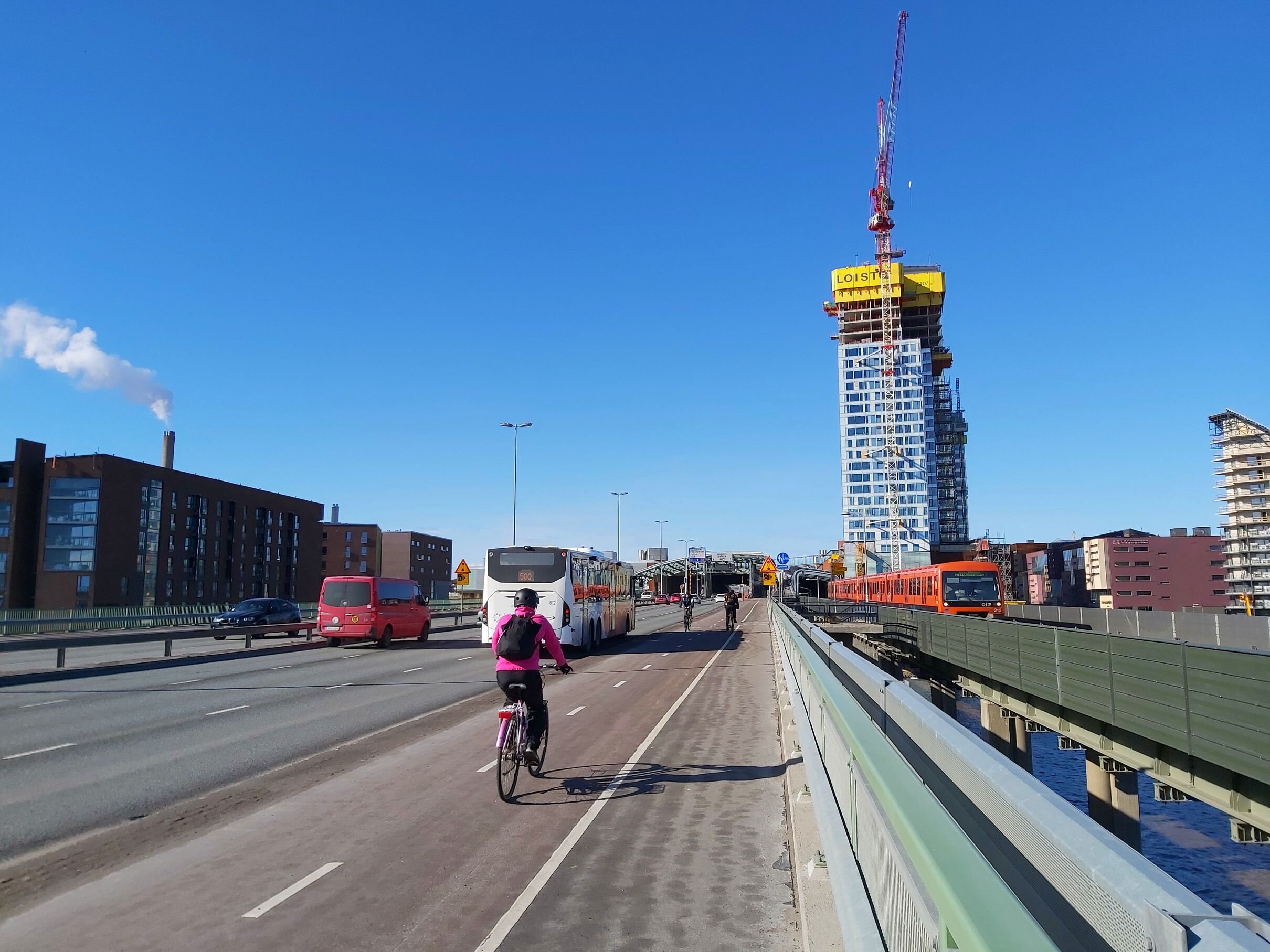
The aim of the Helsinki region is to create a regional and community structure based on rail transport. Train and metro station areas are at the heart of urban development as areas where housing, services and jobs are concentrated due to their good accessibility. As low-carbon transport nodes, station areas are also naturally suitable starting points for carbon neutral and sustainable urban development. Read more about the development of station areas in the adjacent links.
Various tools can be used in urban planning to assess the future air quality of the planned site. The impact of traffic can be assessed using air quality zones. The concentrations of air pollutants fall rapidly when moving further away from the road and are at background concentration levels at a distance of approximately 100–300 meters in various environments. The background concentration is higher in city centres than in areas where the air quality is significantly affected by only one traffic route.
It is possible to effectively reduce residents’ exposure to air pollutants by means of block structure and building design. The ventilation, block structure and level of traffic emissions at the site affect the intensity of the concentrations people are exposed to. Housing and sensitive locations, such as kindergartens, can be protected by placing office buildings between them and the street or road, for example. The effects of vegetation on air quality have also been studied, but studies conducted in Finland have not found it to have a significant impact on the concentrations of air pollutants.
In apartments, it is recommended that bedrooms and living areas be placed on the sheltered side of the building, with less sensitive functions, such as kitchens and washrooms, on the street side. Placing residence yards and balconies on the sheltered side also reduces exposure to air pollutants and traffic noise.
The indoor air quality of buildings can be improved by efficient air filtration and by placing the supply air intake as high and as far away as possible from the emission source. The supply air intake must be located away from loading and parking spaces as well as the exhaust pipes of parking facilities.
More information
HSY provides information on the development of land use, housing, employment (commuting) and jobs in the Helsinki metropolitan area and the Helsinki region. We receive data on zoning and housing production, for example, from the follow-up of the agreement on land use, housing and transport (MAL) in the Helsinki region, coordinated by HSY. Future jobs are projected in the projection of jobs prepared through regional cooperation. Future construction opportunities in the Helsinki metropolitan area can be viewed from the lot reserve material (SeutuRAMAVA).

The Housing page features statistics and reports. On the Jobs and commuting page, you can find time series and visualisations of commuting and the job and industry structure in the Helsinki region.
HSY also produces information on emissions and their development. Here you can examine greenhouse gas emissions in the Helsinki metropolitan area.